Published on: May 14, 2026
The City of Pooler has finalized the installation of road assessment devices in city vehicles. This contract with Roadway Management Technologies Lifecycle Management System was approved by City Council in February, and unlike systems that rely solely on visual imagery and AI interpretation, RMT uses a multi-sensor “sensor fusion” methodology that combines roadway images with sonar and accelerometer data. This approach improves accuracy by validating visual findings against physical roadway response data, reducing false positives commonly caused by lighting conditions or pavement color variations. This builds on the completion of the Hunters Ridge repaving project as part of the City of Pooler’s effort to proactively address road surface repair citywide using data-driven decisions.
The sensor devices have been installed on over 15 public works vehicles to allow for passive, continuous data collection eliminating the need for disruptive surveys or operational downtime. GPS location tracking is combined with the data collection to develop a complete picture of Pooler’s road network, allowing staff work more efficiently and effectively.
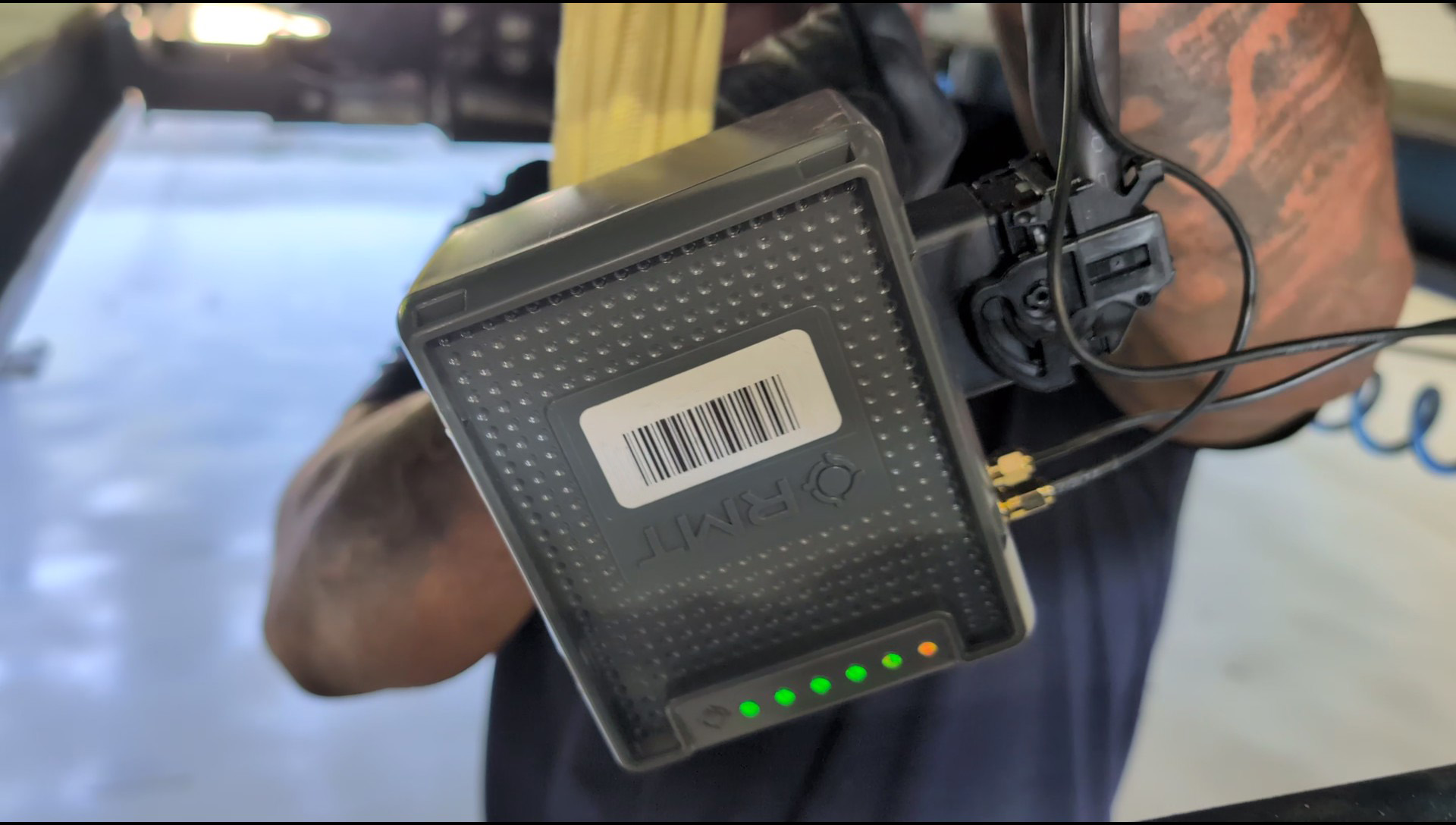
Sensor System CPU
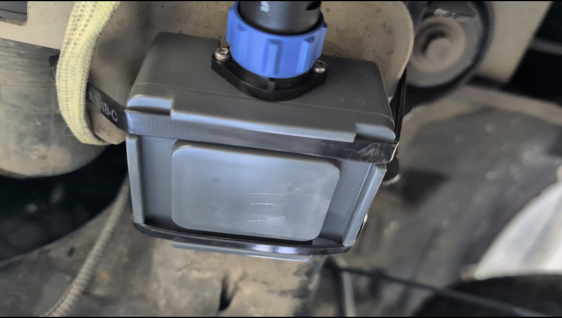
Under Vehicle Sonar
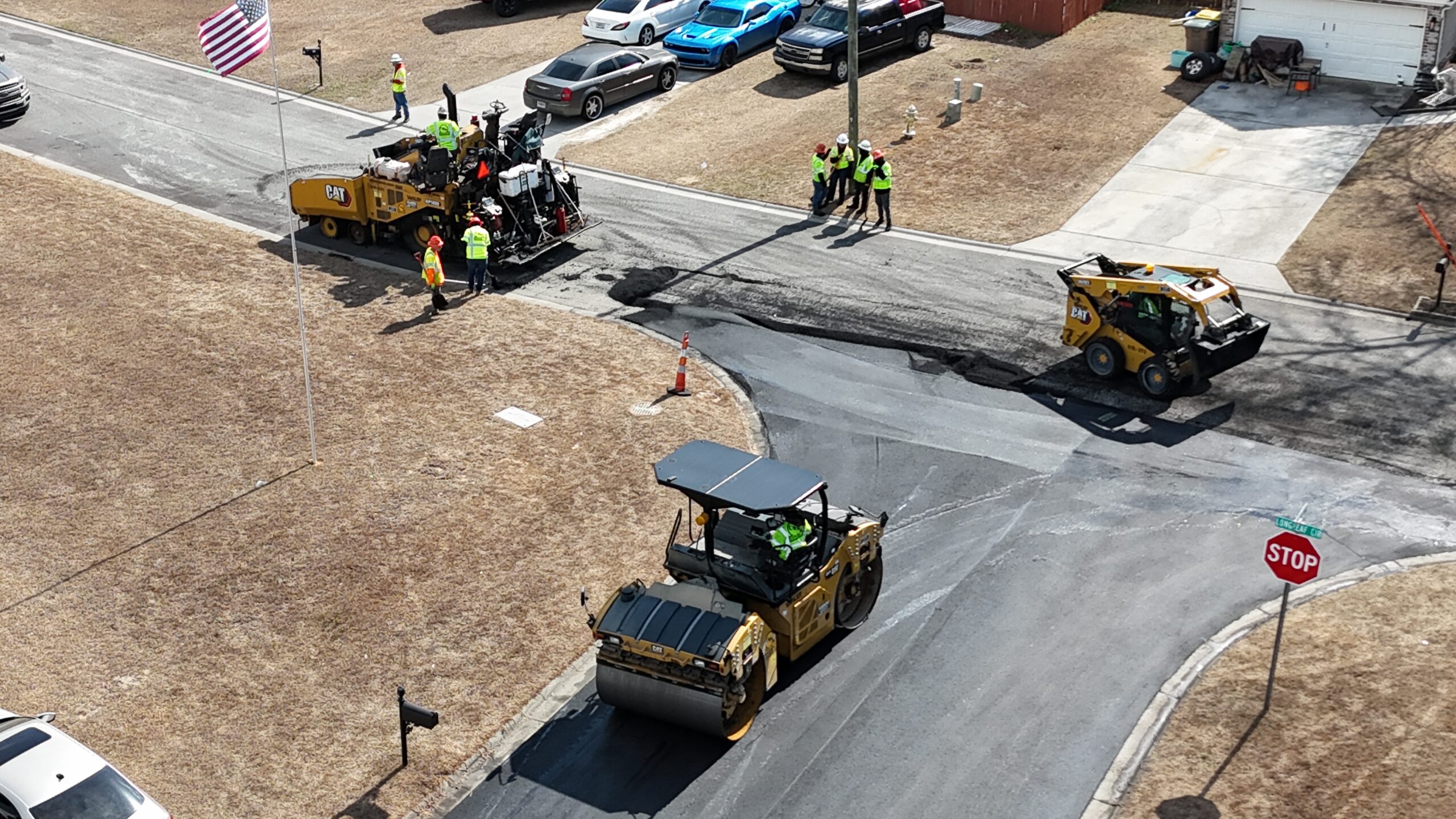
Hunters Ridge Repaving